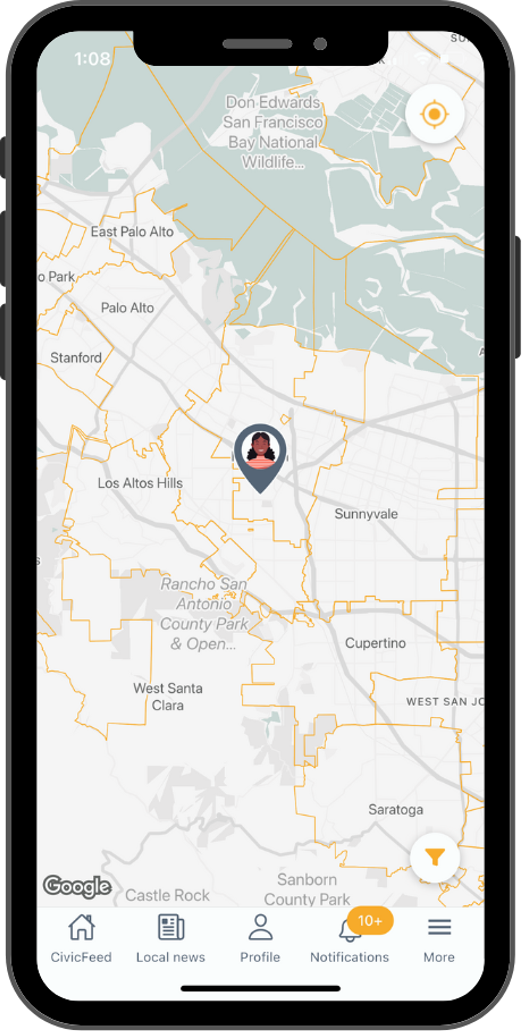
Find districts with the CivicMap
With the CivicMap, you can understand the geographic boundaries of all the different governmental districts - both those you are in and elsewhere
Last updated on
October 17, 2022
- When selecting a district, users may explore a comprehensive list of officials for that district.
- Use this to learn which officials are responsible for what in your community.
- For example: differentiate between city and county level officials, or better understand special districts, like water and healthcare districts.
- The filter allows users to select what districts they are viewing: from city to state level.
- Users can manually choose to follow other public and elected officials who do not represent them. Following an official adds them to the CivicFeed.
Did this answer your question?
How can we improve this article?